01 — rds-06
← All workRoadster
Own projectIn developmentSimulationrds-06
A what-if traffic simulator for city planners — test which signal retimes, lane changes and zoning edits actually reduce congestion, before spending a dollar.
- JavaScript (ES modules)
- Leaflet
- Canvas 2D
- OpenStreetMap
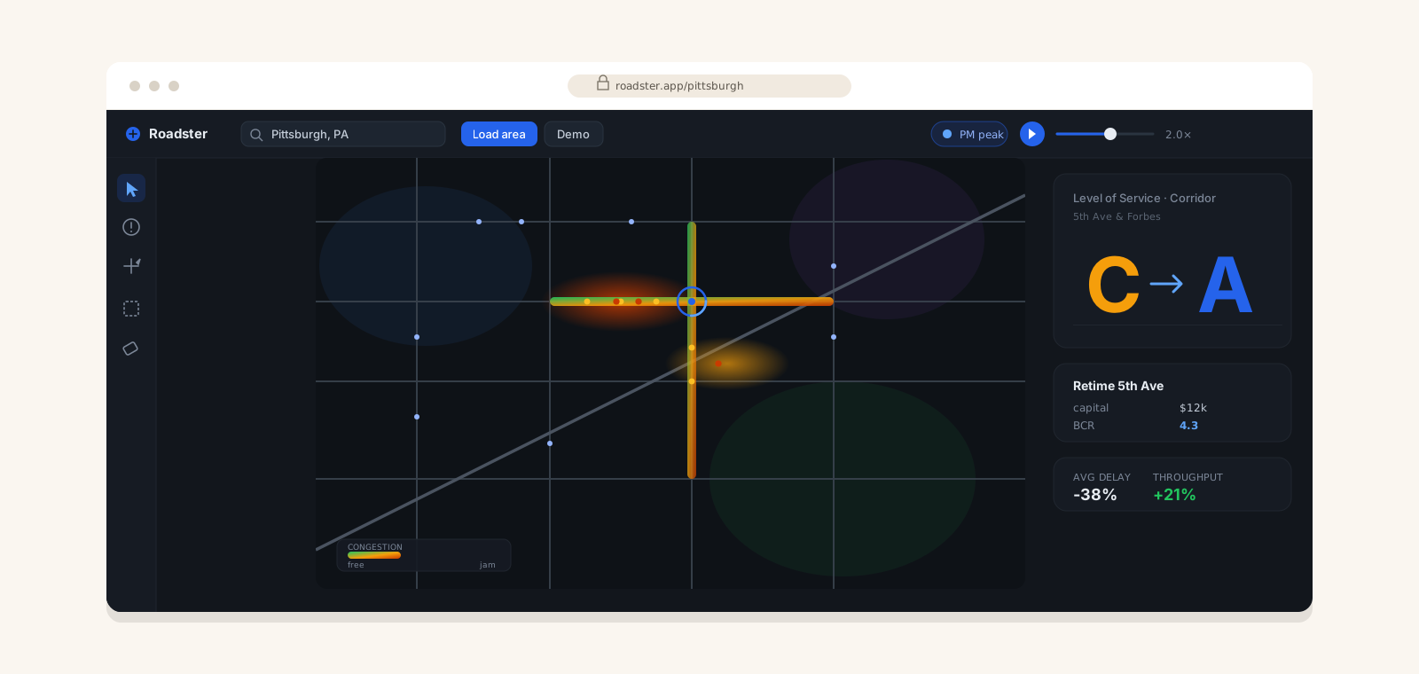
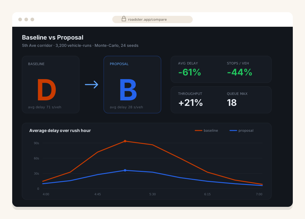
Roadster loads a real OpenStreetMap street network (or a generated Pittsburgh demo), lets you paint land-use zoning, mark problem sections and propose fixes — then simulates a full rush hour with realistic vehicle behaviour and compares before/after metrics with clear costs.
Under the hood
- Microscopic simulation — Intelligent Driver Model, vehicle classes, US rules (right-turn-on-red, protected/permissive lefts, all-way stops).
- Live NEMA signal control with corridor coordination (green waves).
- Time-of-day demand with AM/PM peaks and directional bias.
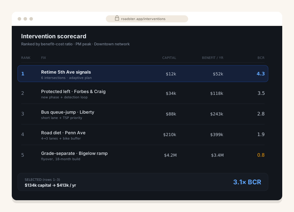
- Scorecard — capital cost, $/year benefit and benefit-cost ratio per intervention, plus network Level-of-Service (A–F).
Runs entirely client-side in vanilla JavaScript over Leaflet — zero dependencies.
Status
In active development — the simulation core, signal control, scoring and before/after comparison are working.
Next project
Want something like this?
Describe what you're building — you'll get a straight answer and a fixed quote within 48 hours.